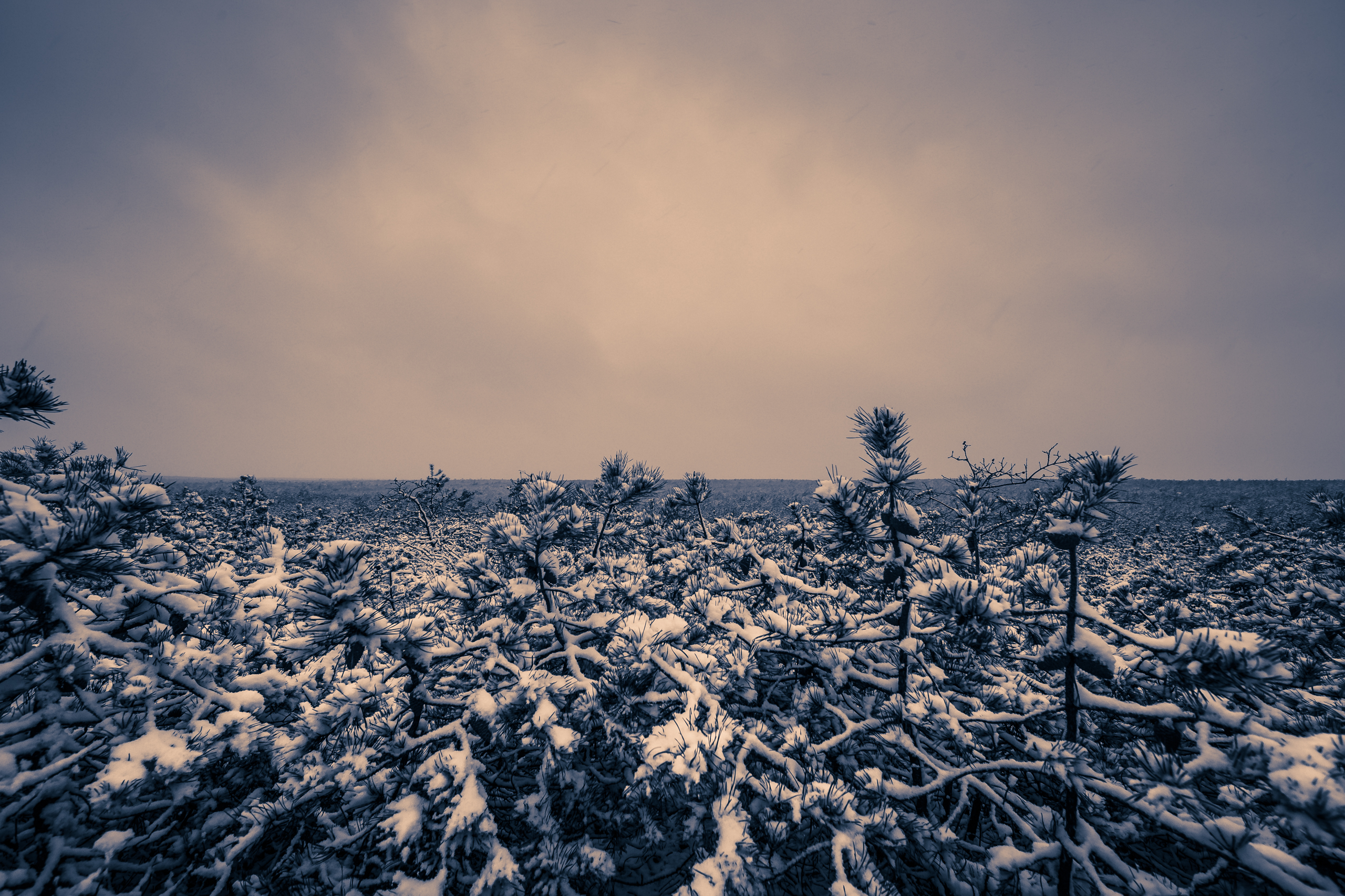
Let’s talk about the weather, Mid-Atlantic. In case you hadn’t heard there’s a potential snow storm looming, turning its tentative gaze toward the weekend. But first, proceed with caution. It’s been a tough winter for snow lovers, and we would do well to consider the unreliable performance of operational models of late. Despite a conducive pattern for coastal storm development we’ve seen one promising event after another appear, disappear, only to reemerge late in the game sending cutter after cutter into the Great Lakes. Whereas today we saw a storm widely thought to be out to sea, hang close enough to the coast to bring a mostly unexpected 1–3″ of snow to southeastern New Jersey—with an even bigger hit along the Delmarva. Were it not for marginal temperatures just above freezing this would have been a major bust. Suffice to say, faith in the models has been tested, and we should all feel justified in our skepticism. Of course there’s a lesson in here: despite improving datasets, more powerful processing, and better defined atmospheric dynamics there’s still plenty to get wrong in forecasting. We’re still a ways from perfect and that’s perfectly okay.
Tempered emotions aside, it’s tough not to get a least a wee bit excited for this weekend. Some factors driving our optimism? Consistent plotting of the storm on the major weather models for at least the past 48–72 hours; we’re now progressing well into mid-range forecasting (less than 120 hours out); and most importantly, the pattern at 500mb looks favorable. Tonight’s 00z runs will be huge, and weenies (a term for weather enthusiasts like me who know just enough about weather to be dangerous) will be staying up late on this Martin Luther King, Jr. weekend waiting for the Euro. While it’ll be fun to get caught up in the excitement, we should at least wait until Tuesday when this storm is properly sampled. Said sampling allows real data to be input into the model algorithms, ensuring much greater accuracy as the models will be relying on fewer unknowns/hypotheticals. By then if the trends still look good it’ll be game on and milk and bread memes will be in full effect. In the meantime, stay tuned to Weather NJ for the latest.
Interested in buying? Purchase

Leave a Reply