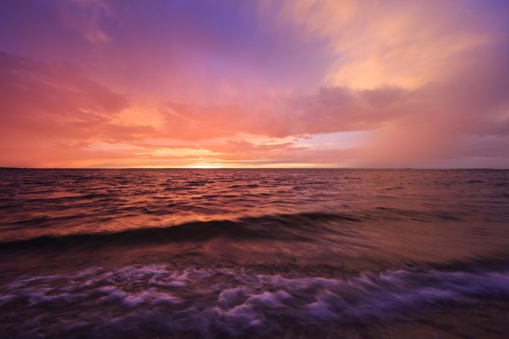
Sunday began what is now day four in a stretch featuring potent storms, dramatic clouds, and fiery sunsets. While I’ve been tied down and largely unable to shoot, it’s been impossible to miss what has to be the best consecutive stretch of sky goodness in recent memory. New Jersey based social media accounts have been set afire with countless jaw-dropping photographs for the better part of a week. Thanks to ubiquitous smartphone adoption the degree of documentation has sailed far beyond unprecedented levels. Everyone is a photographer now, and I think it’s is great. Scrolling through my Instagram feed this week has been a total treat.
Above is my small contribution for the week. This photograph was made at Surf City Sunset Park on Sunday evening. Strong to severe storms were powering across the mid-Atlantic, bringing strong winds and heavy rainfall. Unfortunately the line fizzled just as it made its way to the coast. While a proper shelf cloud never materialized over Barnegat Bay, it was becoming readily apparent the clearing would time up perfectly with sunset. My friends and I bailed from our Barnegat Light thunderstorm position and made our way south into Surf City. From there it all came together. To the east was a properly majestic double rainbow backlit by a stunning array of pink storm clouds. To the west, a potent sunset stretched across the sky. So powerful was the light differential from sun to storm clouds that auto white balance was rendered effectively useless; leaving RAW files cast in a strong purple hue if left untouched. When this extreme is achieved you know you are in the presence of some properly dramatic light play. For me, I was simply dumbfounded; left holding my gear, smiling ear to ear.
Interested in buying? Purchase

Leave a Reply